Had a awesome time hanging out in the Denver area!
Let the bad weather pass. I went down to the metro area and met up with some family.
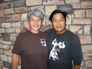
I caught my cousin Robert as he was getting off work in Golden.
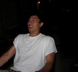
Then had dinner with my cousin Terry in Thorton.
It was so good to see her! I don't get to see too much of the family on my dad's side.
Last she saw me I was really really young.
I'm planning on seeing some more family this trip.
Spent the night at Robert's
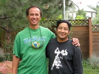
In the morning I went to Boulder to have breakfast with cousin Bobby John.
He owns a excavation company. I got to see them tearing down a house!
Must be fun to drive big machinery through buildings!!
So, now that I'm in Boulder the easiest way out is through Rocky Mountain National Park. Oh darn, if I have to.
Definitely pointing my bike towards more mountains.
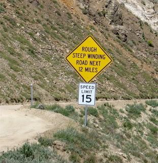
My third time going through the park, but, very different going on a motorcycle.
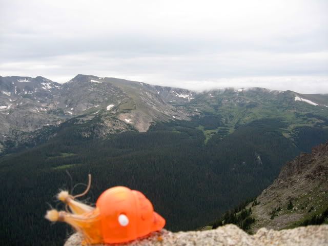
A little hazy like the first time, but.....oh damn it's cold!
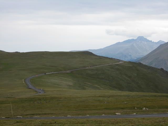
The road thought the park is the highest continual highway in the world, with the highest point at 12,183 ft. above sea level!
Here's the rocky road. (hehe)
I was taking a lot of pictures of motorcycles riding though the summit, but....
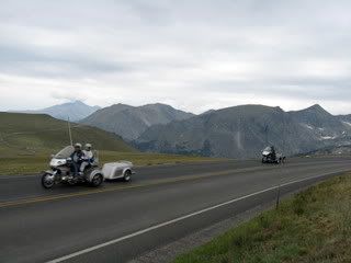
This is just silly. A trike with a trailer..... At this point you should just get a car, remove the windshield, and put on your helmet if you want the same feeling!!
HAHA!
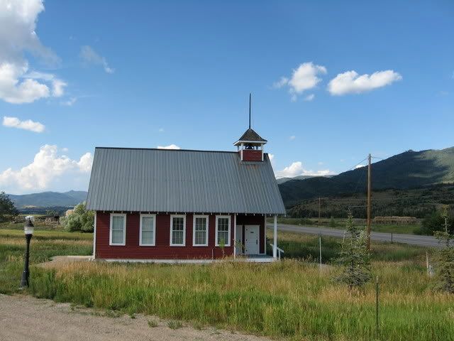
So, taking US40 out of Colorado and into Utah.
Stopped next to this schoolhouse in Steamboat Springs. The Mesa School, built in 1916.
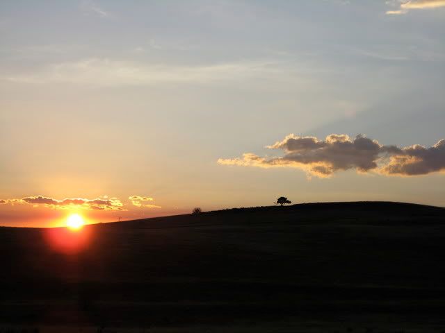
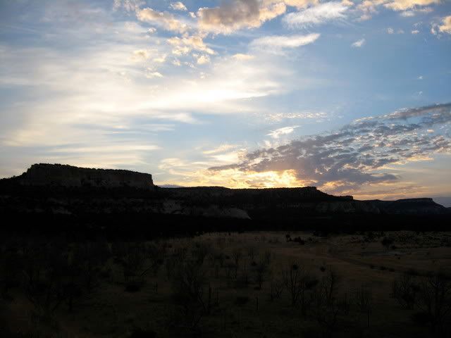
I have a thing for sunsets if you haven't noticed..
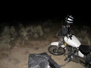
Slept in the desert, and woke up outside of Dinosaur National Monument.
Rode through the park at sunrise.
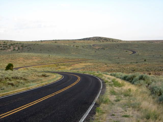
You'll have to see a lot of road pictures like this, sorry, I just think that it's a cool subject.
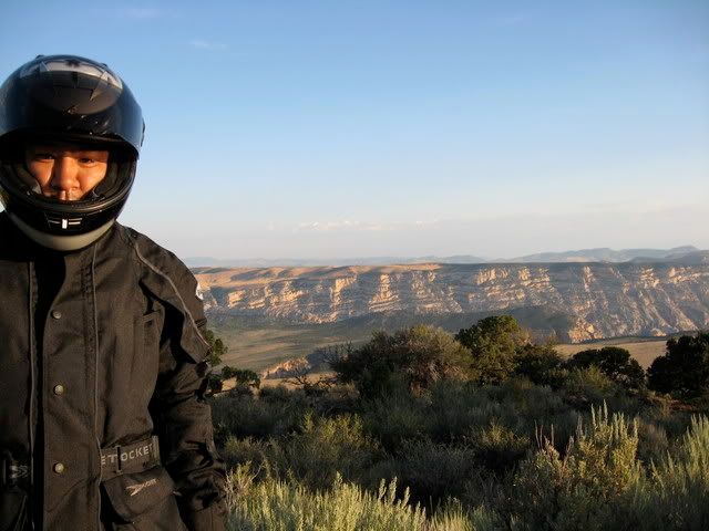
Look at that big smile on my face!!
Stopping to get gas, I saw this:
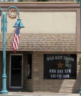
SALOON and Spa!!
Nice to get fresh before the brawl!! HAHAHA
So, to reach Salt lake you typically go through a big valley to the east.
However, I saw on my map that there might be a way through the mountains. Like I said "I wanna go that way!"
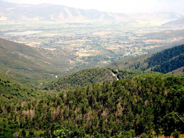
To the east there is a state park called Wasatch. I stopped in the ranger station and talked to one. He said that you could get through the park but most of the road was unpaved.......oh, "and watch out for that family of moose near the top".
Made it up the mountain without a hitch or moose. Luckily, the downhill slope was paved.
Here's a view from halfway where you can see the dirt road, the golf course in the park (I know, oh well) and the city of Midway.
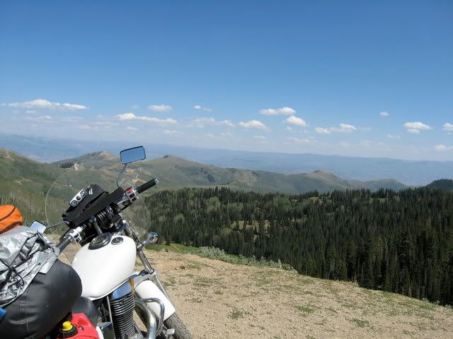
..and one from the top:
Made it into SLC and hanging with Ratchet and Dan!
Haven't seen Dan in a LONG time. They're doing great!
Haven't seen a real life Mormon yet but I'll keep you posted.
Here's my route!:
http://local.google.com/maps?f=d&hl=en&geocode=&saddr=estes+park+&daddr=Salt+lake+city&mra=cc&dirflg=h&sll=41.08282,-108.368655&sspn=5.03476,7.613525&ie=UTF8&ll=40.672306,-111.229706&spn=0.633275,0.951691&z=10&om=1
Ok. here's the debate:
I'm torn between taking the "Lonliest Road in America" Route 50 through the Nevada Desert.
Or, going north though Idaho/Wyoming.
But it's looking like I'll head west still. That desert run is one that you HAVE to take.
http://www.byways.org/explore/byways/2033/
Slow, look, press and roll!